Sarah says this post is a bit long. Perhaps approach it as installments. I wanted to tell a longer story. Section headings have been added for your reading pleasure.
Part I: Euphoria of Nature
Vinnie and I have been working toward this backpacking trip for the last few weeks. The other ski trips posted previously were our attempts to get in shape and improve our skills. This is my second season on skis, and first with telemark style skis, boots, and bindings. This backpacking trip represented Vinnie's third outing on skis! Anyway, the original plan was to ski from Bassington Acres on Monday 5+ miles to Shindagin Lean-To for the night. Then, we would ski about 10 miles to Kimmie Lean-To in Robinson Hollow State Forest on Tuesday, and ski out to a waiting car on Wednesday. That was all before the weather report came in. Sunday night we had a windchill advisory and for Monday, as well, so we opted to cut the trip to just Tuesday and Wednesday and to just go from home to Shindagin and back. That was the plan. In the end, the skiing was more challenging, and the temperatures colder than we expected. Crucially, the unbroken snow slowed our travel time by more than the double we had accounted for. We expected for it to take us about 3-4 hours to get to the lean-to, but in reality it took us about 6 hours, which didn't leave us with much light or warmth from the day. We started in good spirits and ended safely and happily, so it was a great trip.
Part I: Euphoria of Nature
Vinnie and I have been working toward this backpacking trip for the last few weeks. The other ski trips posted previously were our attempts to get in shape and improve our skills. This is my second season on skis, and first with telemark style skis, boots, and bindings. This backpacking trip represented Vinnie's third outing on skis! Anyway, the original plan was to ski from Bassington Acres on Monday 5+ miles to Shindagin Lean-To for the night. Then, we would ski about 10 miles to Kimmie Lean-To in Robinson Hollow State Forest on Tuesday, and ski out to a waiting car on Wednesday. That was all before the weather report came in. Sunday night we had a windchill advisory and for Monday, as well, so we opted to cut the trip to just Tuesday and Wednesday and to just go from home to Shindagin and back. That was the plan. In the end, the skiing was more challenging, and the temperatures colder than we expected. Crucially, the unbroken snow slowed our travel time by more than the double we had accounted for. We expected for it to take us about 3-4 hours to get to the lean-to, but in reality it took us about 6 hours, which didn't leave us with much light or warmth from the day. We started in good spirits and ended safely and happily, so it was a great trip.

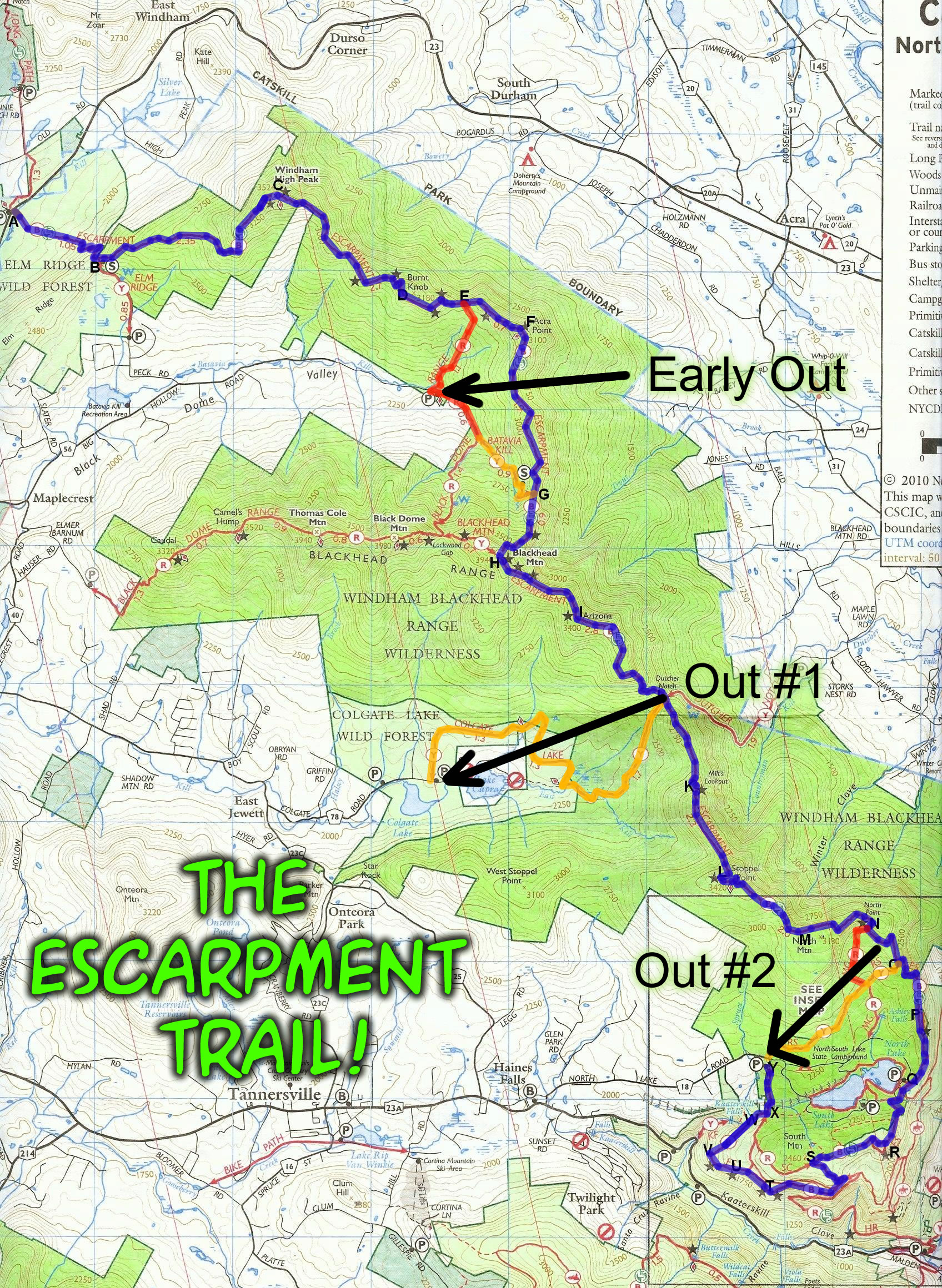
We started at the intersection of Ridgeway and Coddington Road. The first couple miles of trail were easy, they are my normal running/skiing route and have tracks laid on them. Where you see the two arrows indicating trail closure on the right hand side of the map is where we first thought we might be in for a long day. I was quite pleased with the performance of my new skis, and the wax we applied was spot on. Although Vinnie did some more duck walking than I (due to preference and ski type), we were both relatively successful until we hit this section. Here, we both found we had to remove the skis occasionally and trudge through hip deep snow up very steep inclines.

On the second map you can see where we set up camp as well as the trail we had originally planned to take to Kimmie Lean-To, just off the North end of the page. South Road will take on importance later in the story.

Happy and warm at the beginning of the day. It was around 12 degrees. You can see one of the white trail blazes on the tree in the background. Interestingly, these became harder to see once we got into the wind whipped areas and the trees were coated with snow. As I told Vinnie later in the day, I'll never again complain about how many blazes the volunteers put up... Seriously, though, it's kind of a lot.

The sun was brilliant and the snow looked like fields of diamonds. Nature is incredible. Incidentally, relative to much of our day, this is what I consider a broken trail. I had skied here two days previous, and obviously there had been some hikers.

Foggy lens effect. Many of you will recognize this as the section of trail across the street from our house. Looks different in the winter. Vinnie and I found this to be true of all the trails we skied. it was really surprising how sections of trail were so challenging that we'd never given a thought to before. This section was easy... and pretty.

Vinnie is good at duck walking. I was happy that my skis and wax allowed me not to have to do this. I am not good at duck walking.


Crossing White Church and side stepping up the snow bank.


We carried fully loaded packs. Sleeping bag, two days worth of food, 3 litres of water, spare dry socks, fleece shirt and pants, pots and pans, fuel, first aid kit, ski tools and wax, tent, headlamp, trail mix and cliff bars for the trip, etc. I don't know if I was more amazed at the difficulty of carrying the pack or how well we both handled it. It definitely reduced our speed and glide.

This is what the world looked like through my violet goggles. Very nice.

Looks pretty good with them off, too.
Part II: Trudging Toward Shindagin
Part II: Trudging Toward Shindagin

The afore mentioned section of trail. I was able to ski on a little farther than Vinnie. My skis are wider and the surface area definitely helps when climbing, but I too succumbed to the incline and had to trudge. We talked about maybe carrying snowshoes, too, but I'm not sure how that would work; if we'd be able to use the same boots... Anyway, we didn't have them, so we trudged.

The hill ahead.

The sky above.

Laying tracks through the woods. At times, the trail was quite narrow, which was fun and challenging. It added to the sense that we were explorers or trappers, picking our way through uncharted country.

As usual, the picture doesn't do this scene justice. It is 12 degrees at this point, there is no wind. The cold mutes the smell of earth and pine and adds a metallic scent and feel to the air we breathe. This lone conifer stands in a grove of skeletal deciduous trees, lit and warmed by the sun... a nice place to stop for a moment and contemplate the beauty surrounding our struggle.

Cold and happy.

Are we there yet? Seriously.
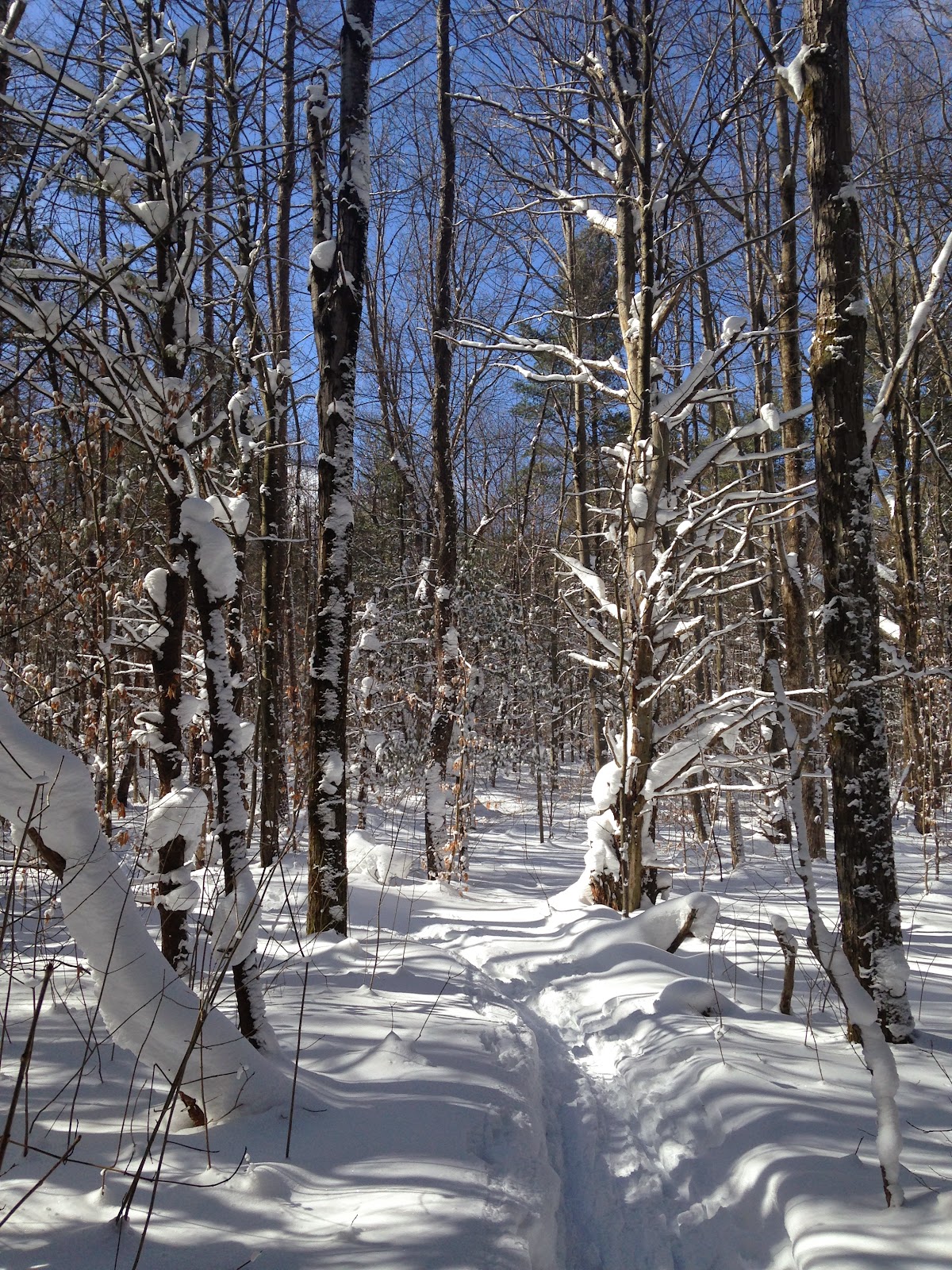
So, between here and the next picture there was a lot of trail. It got quite technical and skirted a cliff for awhile. We did as those in disbelief do and checked the map too often, unable to accept how far we had yet to go. Although it was only around 3pm at this point, the light seemed to be fading, the shadows grew longer, and we began to feel a little apprehensive. I didn't take too many pictures before we arrived at the lean-to, just focused on the tasks at hand; namely, breaking trail and looking for blazes.
Part III: To Lean-To or Not To Lean-To?
Part III: To Lean-To or Not To Lean-To?

The view from the lean-to. Vinnie had mentioned cold, wet feet a couple times before, and now it had become obvious that this was a real problem. We took a moments rest, and then set up the in the lean-to. We got the stove going under a pot of snow (we'd both lost a water bottle to the trail at some point) to make much needed water. I headed out to collect firewood while Vinnie changed into dry socks and began trying to warm his toes.

In the lean-to, the temperature is dropping.

The sun was dropping, too. This is an accidental shot, and maybe my favorite of the trip. We got a fire going and stoked it. I was able to find quite a bit of wood to get started, but the area gets a lot of use, and as the recent deadfall was fed to the fire, I was traveling farther and farther to find more. In addition, Vinnie was struggling to get warmed up and I was becoming increasingly tired. We had to make a decision.
Part IV: Evac.
Part IV: Evac.

Decision made. Pack it up and let's get out. I called Sarah, but got her voice mail. She called back and I explained the situation. No problem. She coordinated an evac and we started skiing again, headed for South Road and hoping. We had no idea what the road would be like. The most recent one we'd crossed was impassable to anything but foot traffic and snowmobile. If Sarah could get to the trailhead, we only had one more mile to go. If she couldn't, we'd have at least three. We were headed out; onward again. We didn't know what we'd come up against, though we did know it would be dark. I looked at the thermometer one more time before I put it in my bag. Zero.

This is the only photo I stopped to take. You can see the blaze clearly, here. The majority of the time, we had to guess a direction and knock snow off the trees to check for blazes. It was a little tedious, but the terrain was pretty easy. We didn't have to take our skis off but once or twice, which was great. We made good time and Sarah met us at the trailhead (the road was clear, thankfully) with hot tea, a warm car, and a smile. She was amazingly kind, and didn't even say "I told you so" or, "You guys are morons."

After doing the leg cramp shuffle for a bit, Vinnie and I both got comfy in front of the wood stove. I cuddled with Sarah and he cuddled with Eva. Eva loooooooves Vinnie. My best estimation is that we wound up skiing somewhere between 7 and 8 miles of trail, not counting wood gathering and trail finding. Of that, easily three quarters was fresh snow. I have no idea how much we trudged through because the slopes were too steep to even duck walk. It was a grueling, fun, amazing nature adventure. We both learned more about our limits and built our skills. Maybe next winter we'll try again for an overnight. Maybe we'll look for a little bit warmer temps.